


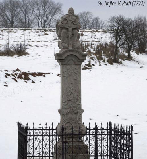
novopacko.cz > Home > MAPA
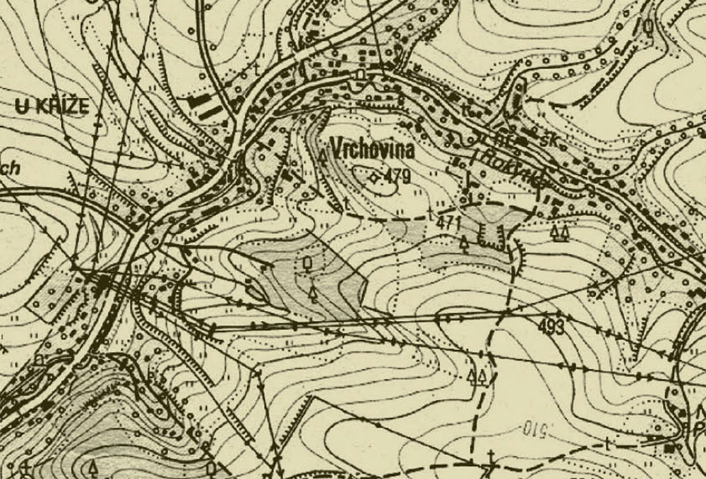
The village of Vrchovina lies to the north-east of the town of Nová Paka. The present-day name of the village says about its location in the hilly area. There is Kozinec to the north, Patřín to the south-east (today´s Na Patříně). In the south-east there is the Sýkornice forest The Rokytka brook, which springs on Na Patříně, fl ows along the village.
The village of Vrchovina did not used to be the part of the village of Rokytná (as it was supposed earlier), but it was one of two villages that lay on the both sides of the line (today´s the public high road). To the north of the road under Kozinec hummock there was one of them, Rokytná hamlet, which does not exist nowadays. To the south-east, parallely the road There was the village of Vrchovina which was mentioned in the records in the 14th century.
The Swedish invasion and great fi res in the region impacted the construction. The connection to Nová Paka is recorded by the fact that the fi rst person who was buried at the cemetery of St George in Nová Paka after its re-consecration in 1662 was a village J.P. Jiří Hilmar. In 1710 when Jan Josef of Trattmansdorff bought the manor of Kumburk the record about the newly built village of Vrchovina appeared. In the second half of the 18th century most people died of plague.
The road construction caused building in the village. So that the small factory which produced concrete products was built and it worked in the fi rst half of the 20th century there. The construction activities increased after 1989. In the village you can also fi nd the samples of timber buildings.
")
")


