


novopacko.cz > Home > MAPA
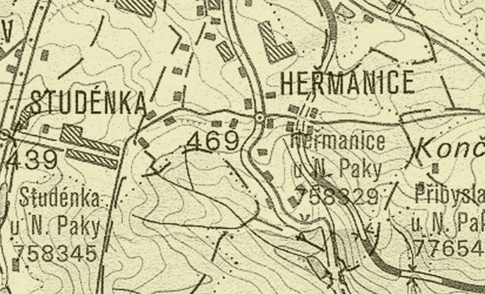
The village which is called according to the rich water spring belongs to the modern period. The fi rst record about the village comes from 1598. It was presented as Studýnka. Also this later established village had its manor house (No 7). It was gradually damaged due to total reconstructions of the garden area. During the construction of telephone connection in 2000, in the yard of the house No 13 and to the north of the fence of the house No 7 the fragments of the dishes dated back to the 14th–17th centuries were found. Those fi nds thus have changed the previous traditional date of the written record. The oldest archaeological finding of the whole area of Nová Paka also belongs to Studénka. In October 2005 Mr Václav Novák found a light-grey fl int drill on the northern hillside of the hill so called Hrčířův. It was made up by adjusting the end of the blade to the working surface- thus the point of the probably broken blade.
")
")


