


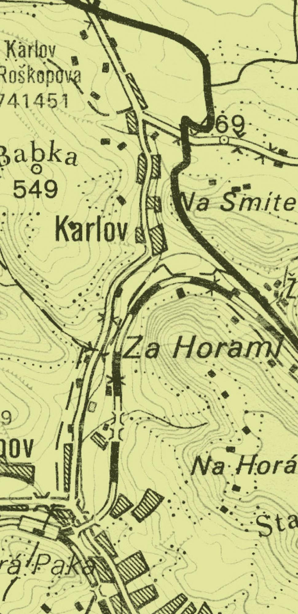
novopacko.cz > Home > MAPA
The village of Karlov was estabished along the Karlovský brook which empties the Olešnice stream. On the both sides of Karlov there were mill houses. The original settlement could have existed there since the 11th century. It might have belonged to the manor of the Livínský castle. In the period of the Hussite wars there were the records about the lords whose names were connected with Karlov, e.g. Burián of Karlov.
In the 16th century the village belonged to the manor of Jilemnice. After 1624 also Albrecht of Waldstein was mentioned among the owners. However, he did not pay for the property and that was returned to Kateřina Křinecká of Ronov and Stropčice and her daughters. In May 1637 Jan William Harant of Polžice and Bezdružice, the son of Krištof Harant, became the owner of the village. After the Harant dynasty had died off in 1728, the earls of Harrachov became the owner of Karlov.
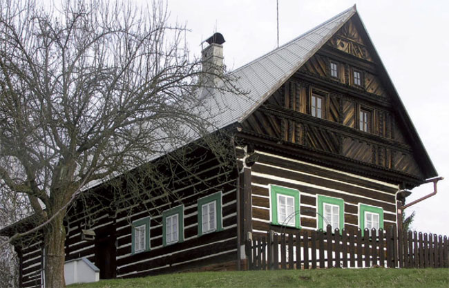
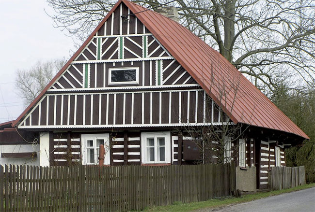
Today’s Karlov is a national heritage village area. You can see the samples of rural timbering architecture there.
")
")


