


novopacko.cz > Home > MAPA
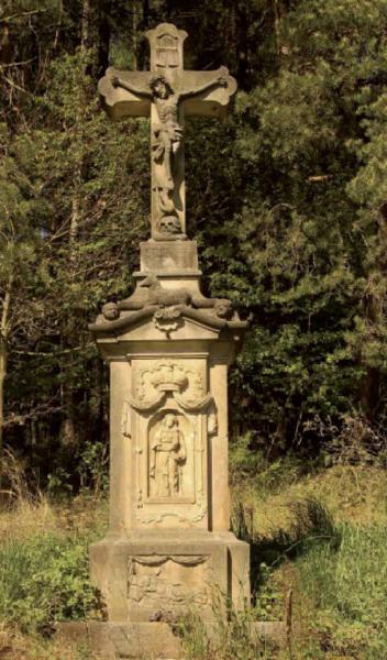
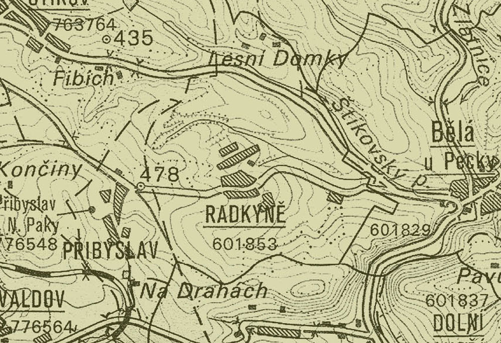
The fi rst record dates back to 1543. The village could have been established a generation earlier, namely at the beginning of the climate change in the fi rst half of the 16th century. The scattered village housing corresponds to the high terrain of the Novopacko region. The foundation of Radkyně in the fi rst half of the 16th century and its existence up to the 17th century is corrobated by a number of postherds from this period. In 1888 Jan Kuhn found two coins with the name Gustav Adolf when digging out blocks of wood in the wood called Odnož (towards Paka). It is almost certain that these coins were coins of the Swedish king Gustav Adolf who died of injuries from the Battle of Lützen in 1632. The coins might have been brought by some of the victorious troops soldiers of the Duke Albrecht of Wallenstein. The coins were palced in the Nová Paka Museum.
")
")


