


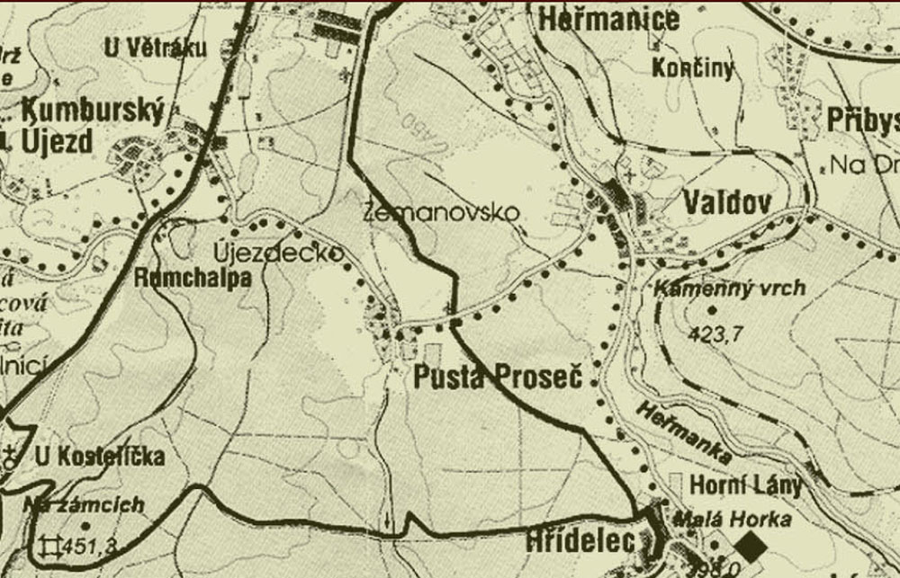
novopacko.cz > Home > MAPA
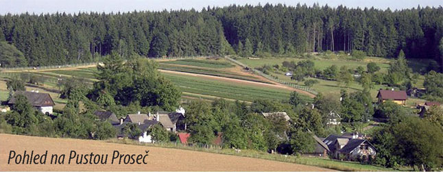
The place of the foundation and some historical periods of this village are refl ected in the name of this village. Pustá Proseč declined during the Thirty Years’ War. It was established in the forest fi rebreak in the fi rst half of the 16th century. It was fi rst recorded in 1542. At this time, new villages were founded on sites which hadn’t been suitable for the settlement earlier. This could happen because of the climate change.
")
")


