


novopacko.cz > Home > MAPA
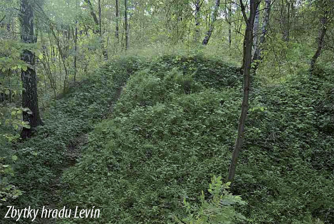
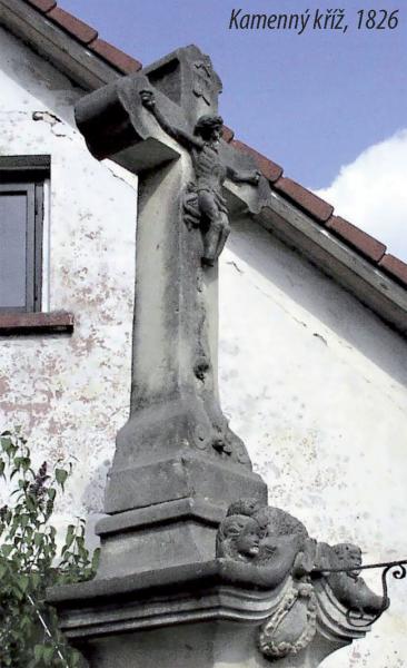
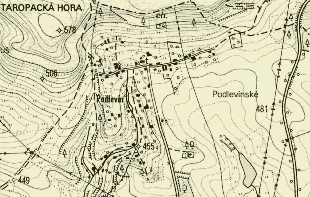
After the Josef II. ’s decree was brought in, which involved Nova Paka cloister abolishment, all friary possession was sold out. Ground adherent to cloister could be found over Balka and onwards to Levin, to place where Podlevin village can be found these days. This village is the younger one and belongs to Nova Paka at this time. At the village north outskirts is a crossing with few possible ways to go – either to the Stara Paka mountains and Hvezda quarry or the west way to Levin and Levinska Olesnice. A visitor walking from the Nova Paka square along the cloister, and through Desatero and Balka sees special places where many fossilized plants were found. Balka locality is also mentioned in special palaeontological literature and the rare fossils are exposed in Nova Paka and Turnov museum. Go on visitor, along the cemetery to the end of the village , straight ahead where the ways to Stara Paka, Vrchovina and Podlevin cross. There is a rood on the hill near the way heading to a pond (it’s between Vrchovina and Balka village).
")
")


