


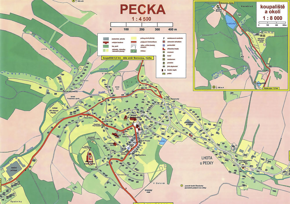
novopacko.cz > Home > MAPA
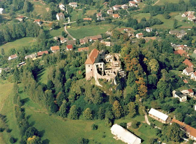
The location of Pecka in the beautiful, diverse landscape of the western Krkonoše foothills makes it an ideal place for holiday-makers. The castle of the same name rises above the town: originally from the 14th century, it was rebuilt into a Renaissance castle in the 16th century and later it was owned by Kryštof Harant z Polžic a Bezdružic. The richness of local history is visible from the Baroque church of St. Bartholomew, the main square with its Baroque fountain and a plague column, and a few timber houses. The camping grounds “Koupaliště a kemp Pecka“ off er accommodation, catering, volleyball, brach.volleyball and tennis courts, as well as a swimming pool.
Krkonoše lookout (Krkonošská vyhlídka) has one the most beautiful vistas in the entire microregion. The lookout at an elevation of 532m provides an impressive view of not only the Krkonoše mountains but also, given good visibility, a well-known deposit of gemstones Kozákov, and the Kunětická mountain near Pardubice to the southeast. The Krkonoše lookout lies on the blue walking trail connecting Pecka with Lázně Bělohrad.
")
")


