


novopacko.cz > Home > MAPA
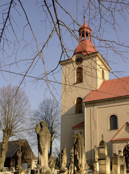
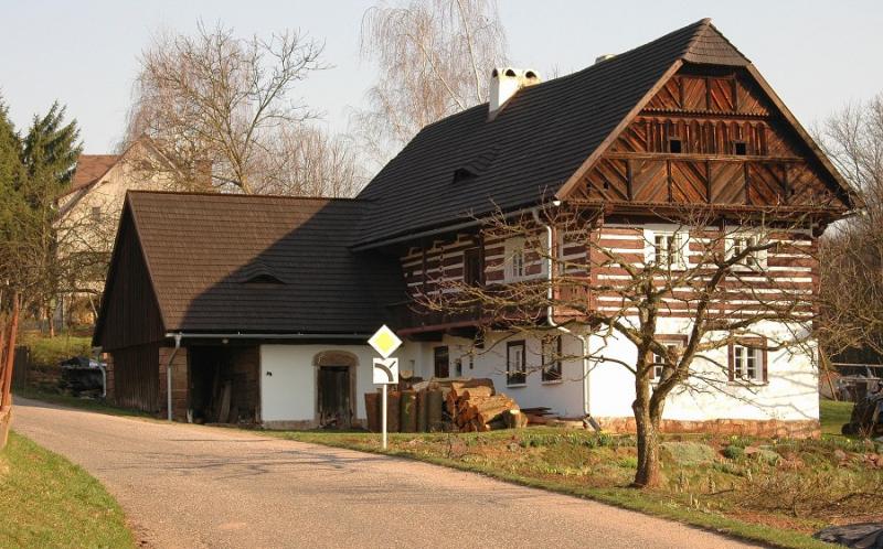
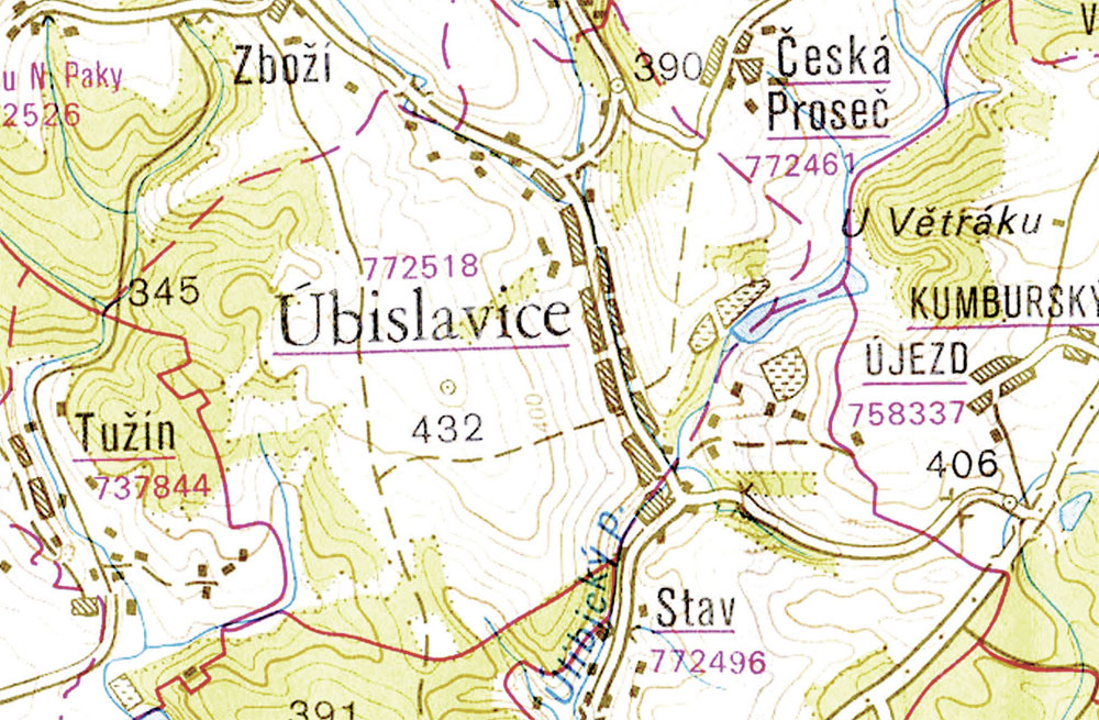
The village is situated to the southwest of Nová Paka on the I/16 motorway from Prague to Krkonoše. In 2005, Úbislavice became a part of the European geological park Český ráj, under the auspices of UNESCO. The history of the village goes back to 1357 when its upper part was joined with Kumburk and the lower part used to be an estate of Czech lower nobility. From 1389 the entire village was passed to the Kumburk castle which stands raised above the village on the basalt mountain 642m high. The castle was built at the beginning of the 14th century and in the 16th century it was turned into a prison. At the emperor’s order the Kumburk castle was demolished. In the village there is the Baroque Church of Virgin Mary’s Birth built in the years 1712–1720 and a number of timber houses with wooden gables.
")
")


