


novopacko.cz > Home > MAPA
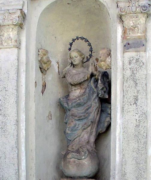
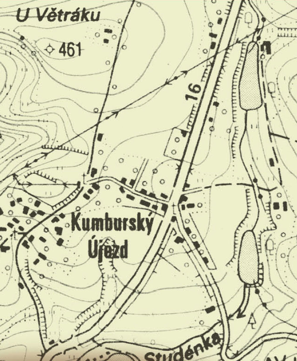
The village is situated to the south of Nová Paka. In the Novopacko monograph the names Újezd and Újezdec are mentioned in the surroundings of the church of the Estates. The history of the both might have started at the beginning of the 17th century, However in the period of the Thirty Years‘ War they were damaged. Later only the original Újezdec was dared to reconstruct, which took over the name Újezd. Up to 1891 the village of Pustá Proseč also belonged to Kumburský Újezd. The property was assigned to the Dřevěnice demesne of the Kumburský manor. The remarkable building is the former inn at the public high road. In the common place there had been a wooden bell tower up to the fi rst half of the 20th century. There was also a windmill in the village up to the 1930´s. There is a basalt stone pit, which is called „Rumchalpa“. Nowadays it is fl ooded and serves as a training base for diving. There are a lot of finds which come from the surroundings. They are displayed in the Treasure House of precious stones in Nová Paka. Svatý Mikuláš Svatý Mikuláš Kumb mb mbur ursk ský Újezd. The property was assigned to the Dřevěnice demesne of the Kumburský manor. The remarkable building is the former inn at the public high road. In the common place there had been a wooden bell tower up to the first half of the 20th century. There was also a windmill in the village up to the 1930´s. There is a basalt stotone pit, which is called „Rumchalpa“. Nowadays it is flooded and serves as a training base for diving. There are a lot of finds which come from the surroundings. They are displayed in the Treasure House of precious stones in Nová Paka.
")
")


