


novopacko.cz > Home > MAPA
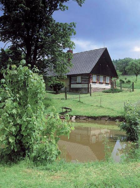
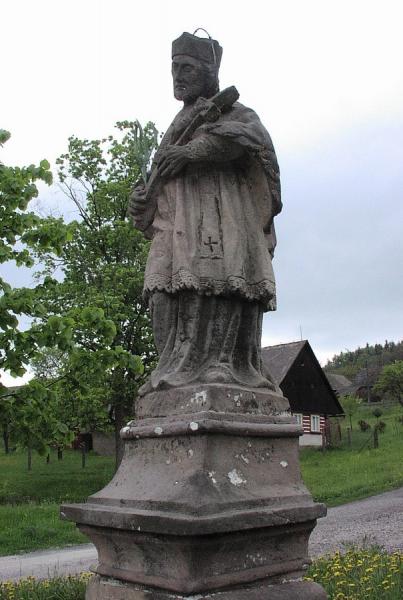
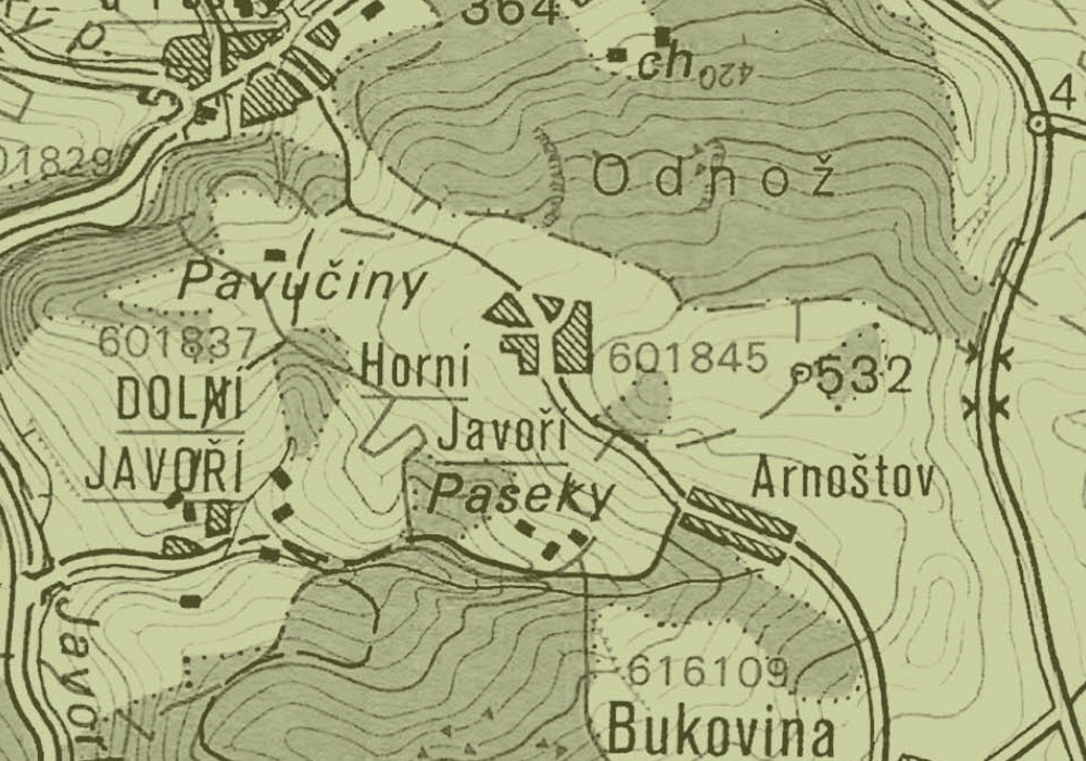
The village of Horni Javori is situated on the northwestern slope of the Krkonosska viewing point. When the settlement was established is not precisely known. Some information on the village dates back to 1532 in connection with the purchase of property by Jan Litoborsky of Chlum. Later, Horni Javori belonged to the demesne of Lazne Belohrad. The village is connected with Arnostov by a road which continues to Bela u Pecky through a smaller common. A statue of St Jan Nepomucky from 1807 is situated on the common.
")
")


