


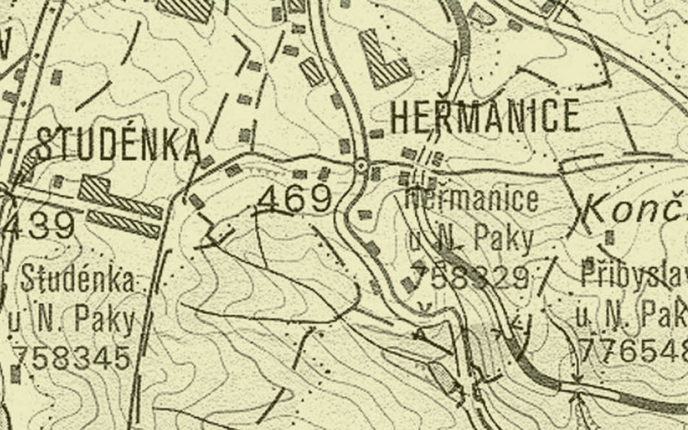
novopacko.cz > Home > MAPA
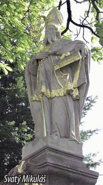
J. Beran, the historian and the priest from Nová Paka, supposed that Heřmanice was established in the second half of the 12th century coming out form the local tale. The fi rst record comes from 1395 connected with the church in Stará Paka. In 1549 William Trčka of Lípa assigned probably damaged village to the manor of Kumburk. After the great fi re it took almost half a century to rebuild the village. The fi rst recorded settler was Raim from Nová Paka who built a cottage in 1717 and owned some lands there. There were 21 wooden buildings up to 1800 according to Novopacko III monograph. Nowadays Heřmanice is part of the town of Nová Paka. It can off er some remarkable monuments to its visitors and tourists. They are the following: the statue of St Nicolas from 1786 (which has found its place after being moved twice) and a crucifi x from 1849 (which is situated at No 55). Nearby there used to be a bell tower from 1847. Today’s Heřmanice is the crossroads of the cycling and hiking routs.
")
")


