


novopacko.cz > Home > MAPA
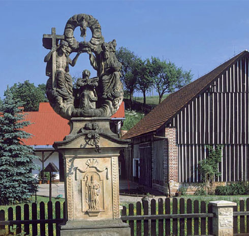
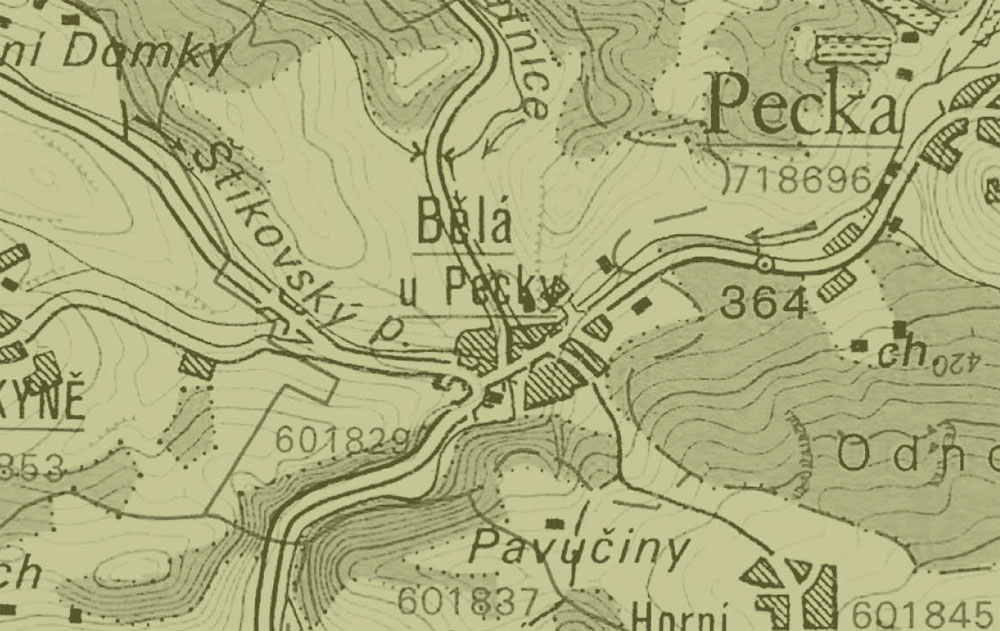
The village of Běla at Pecka lies at the place of confl uence of three brooks, the Radkyňský brook, the Zlatnice and the Sýkorka small rivers. The same as in Horní Jelení, the record about the village comes from the fi rst half of the 16th century. In those days it belonged to Pecka manor. The destinies of Běla and Pecka then developed together. As in the other parts of the region, the timbered cottages were damaged or rebuilt. In the middle of the village the natal house (No 7) of the vicar and the consistory councillor P. Jan Khun, which was built in 1830, was also rebuilt. In about 1930 the smithy workshop (No 55) was knocked down. In 1934 the Javorka stream was regulated. In 1960 the fi rehouse of 1894 was destroyed. The demolition of a small chapel from the beginning of the 18th century, which happened in 1984 within the road reconstruction, the cultural there.
")
")


