


novopacko.cz > Home > MAPA
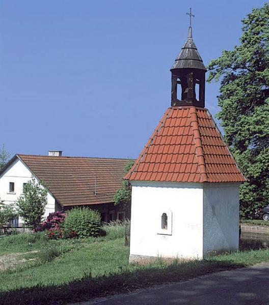
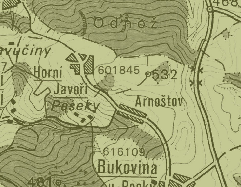
The village of Arnostov was founded in the 18th century by Arnošt Schaff gottsch on the southern hillside of the Krkonoše lookout, 500 m under the top. The original inhabitants were German colonialists. The timber cottages were built along the road towards Horní Javoří. On the common place there is an empty chapel and a belfry. Its nature has not changed since then.
")
")


